To update your offline database, please use one of the options below.
By downloading the Register of Radiocommunications licence data you agree
to
Licence Usage Conditions.
The daily spectra_rrl.zip can be downloaded from this
ACMA Web Page.
Place downloaded Spectra dataset
file here.
Note: Clear your browsing history prior to data loading and import.
This will optimise the process time.
Or
the latest Spectra dataset (spectra_rrl.zip) now.
And Optionally,
to bring your offline database up to the present time.
The ACMA Offline RRL allows you to perform searches against the
daily ACMA RRL dataset using downloaded copies of that dataset.
Once downloaded and imported, you will be able to search against
the datasets without needing an internet connection.
It is recommended that you regularly update the RRL dataset. The ACMA
provides daily updates
to this page
by 6am AEDST. As the dataset is updated once daily, the data on
the Offline RRL may be up to 24 hours out of date.
Utilities
Map
Go to Map pane - May be useful to download Offline map tiles
if required in advance to going offline or generally switch
to the map once results have been rendered.
Database Export
Export a previously Downloaded and Imported RRL Database.
Database Import
Place a previously exported RRL database file here.
Warning - this will replace your existing offline database.
Install
Install the ACMA Offline RRL as a native app on your device.
Table Search
Advanced Search
Technical Records Search
Device Details
Low Frequency
High Frequency
like
like
At Sites
like
Within Distance From
[From Site Id]
Latitude
Longitude
Distance
Include Sites with no Technical Records
Having Licences
like
Include Licences with no Technical Records
By Clients
like
Show Linked (RELATED) Sites
Customise Display Fields. Drag and Drop fields as required.
Fields Not Displayed
Displayed Fields
Technical Records Search - Fields
Customise Display Fields. Drag and Drop fields as required.
Fields Not Displayed
Displayed Fields
Help
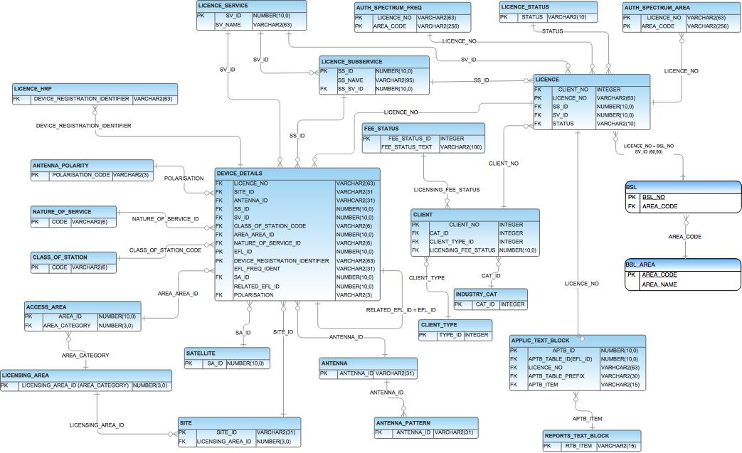
The Offline RRL provides various search features against the ACMA RRL Spectra daily dataset.
In order to use the Offline RRL functionality, you will need to download and import the Spectra
daily dataset RRL (spectra_rrl.zip). Once imported, you will be able to perform core searches
using the menu options by clicking or tapping on the header section of this page. You will then
be able to search against the ACMA RRL dataset offline. You can close and reopen your browser -
and open this page without an internet connection.
The Offline RRL allows you to perform a variety of searches against the RRL data,
navigate, chart and map that data. You can also
further extract this data in CSV or KML format. You can customise output and also
perform core text based, technical and SQL
searches. And at times you have an internet connection, you may be able incrementally
update your offline database to bring it
up to near live ACMA data. The Offline RRL allows you to perform powerful searches
against the full RRL dataset, so you may
wish to consider using this application even if you do not intend to work offline.
Device and Browser Requirements
Your browser must support HTML5, File API, wasm and support for the OPFS
(Origin Private File System). Most modern devices
and browsers will have this functionality. Upon the initial page load,
this app performs a check to ensure your device
and browser have these required features. Should your device or
browser not have all the required features, you will be
unable to proceed with download or importing a dataset.
Getting Started/Loading your Offline Database
To update your offline database, you will need to download a copy of the daily Radiocommunications
Licence data (RRL) (spectra_rrl.zip) from the ACMA website. By downloading the Register of
Radiocommunications licence data you agree to
Licence Usage Conditions.
The daily spectra_rrl.zip can be downloaded from this
ACMA Web Page.
The RRL extracts are available on the ACMA Website by 6am daily (typically generated around 3am).
Under the Load Data (Start Here) menu, there are two options to load
your offline database. You can either;
Download the spectra_rrl.zip and manually
it into
your offline database, or
the spectra_rrl.zip into your offline database when you have an internet connection
If you use the Download and Import option to load your offline database, you may
be able to Apply
Incremental Changes to bring your offline database up to the present time at times when you
have an internet connection.
Incremental updates can be applied after a full Download and Import has completed, and
cumulative incremental
updates can be applied throughout the day. Incremental Updates are subject to certain
conditions (see below).
Restrictions on Incremental Updates
Applying Incremental Updates to your offline database is subject to the following restrictions;
Incremental Updates can not be applied against an offline database that hasn't been either
Downloaded and Imported, or had previous Incremental Update applied
within the last 24hrs.
That is, Incremental Updates cannot "look back" further than 24hrs in the past.
Please note that the timestamp (shown at the top of this page) is reflective of either the
last Download and Import or last Incremental Update. Download and Import
timestamp is obtained
from the ACMA servers - and is the time the extract file is generated on the server - typically 3am.
Whereas when applying an Incremental Update, the timestamp shown will be approximately
the time of your request. As such, you may need to perform more than 1 Incremental
Update each day (say morning then afternoon) if you are planning an running Incremental Updates
on subsequent days without the need to do full Download and Import.
Requests for Incremental Updates will fail during a reserved blackout period of;
Sunday 3am to Monday 3am. This
period is reserved for maintenance activities.
If a request for an Incremental Update takes longer than 4 minutes to complete - it
may automatically be terminated
during periods of high activity (during normal weekday working hours). Requests for
Incremental Updates may actually take
up to 10 minutes to complete. If your request fails after 4 minutes, please try
again at a time of less activity - eg,
outside normal daily working hours.
Searching your Offline Database
Once loaded, you can search your offline database (without an internet connection),
by using the menu options;
Table Search
This allows you to use text searching across the core RRL tables. You can use
text strings to search for any matches across any fields. Or, you can use text strings
for individual columns using the Advanced option. Result outputs may contain
hyperlinks to allow drill down or looking up further RRL details.
Technical Records Search
This allows you to perform a structured search across the core RRL tables
that make up technical licence records. You can filter results based on certain, Device
Details, Site, Licence and Client fields. Result outputs may contain hyperlinks to
enable further drill down or lookup of specific details. Result sets may also be
viewed as a Map View.
SQL
This tab allows you to run an arbitrary SQL statement, or statements, against your offline
database. You can use SQLite syntax in your queries. All of the core RRL table in the
(spectra_rrl.zip) will be imported. Please note that if you run multiple SQL statements
at once, and those statements produce result sets - then only the result set from the
first of such statements will be rendered on the page (this is a SQLite restriction).
To get you started with SQL, there are a set of sample queries available.
You will also be able to save and rerun your queries at a later time. Depending upon
the characteristics of your result set, you may be able to view your results as a Chart
View or a Map View.
The SQL search pane does not provide any pagination of results and the first 100
rows are displayed here. If you find you need to display additional rows for a given query,
you may need to look at the OFFSET and LIMIT SQL directives for the SQL
SELECT statement.
Customise Display Fields
Result set output columns can be customised in both the Table Search and
Technical Records Search.
Click on the button to modify display columns. You will be
presented with 2 scroll-able lists of fields; "Fields Not Displayed" and "Displayed Fields". Columns
only appearing in the "Displayed Fields" list will be shown in the result set. Drag and Drop fields as
required between, and within, these two lists to achieve the desired output fields and ordering.
Please note that after field customisation, whereby key linking fields are omitted from result sets,
some drill-down, or linking, hyperlinks contained in these result sets may become disabled.
Also, if the Show Links (RELATED) Sites checkbox is checked in the
Technical Records Search,
then some additional field columns will automatically be included in the result set. This is done
to support the additional information and to support visualising the result set as a map. The
fields that will automatically be included are; SITE_ID, LATITUDE, LONGITUDE, NAME,
POSTCODE, and STATE. Along with some extra fields to show the linked data,
which are; RELATED_SITE_ID, RELATED_LONGITUDE, RELATED_LATITUDE, RELATED_NAME,
RELATED_POSTCODE, and RELATED_STATE.
Result Set Helpers
After running a search in either the Table Search, Technical Records Search or
in the SQL menu option, additional functionality in the way of result set helpers may be
shown as buttons. These are;
This allows downloading of the entire result set as a CSV file.
Result sets can be visualised as a Map, or downloaded as a KML file, if the
result set has the following characteristics;
If a numeric field named latitude and a numeric field named longitude
are present in the result set, then these are assumed to represent a geographic point
(such as site coordinates). These will be rendered in the map as a point marker.
If a field named geometry is present in the result set, then this field is
assumed to be a WKT (Well Known Text) representation of a geographic geometry
and will be rendered in the Map View. This may be useful for visualising geometries
that are more complex than simple latitude/longitude points - for example, such as
visualising Point to Point links.
If there is a field named Name in this result set, then that will be used
for the map feature title or tooltip accordingly.
Please note that both the Map View and KML download requires the entire result
set to be made available within your browser. Should a map contain a very high number of
features, a warning message may be displayed to indicate that the map may become unresponsive.
However, very large map or kml result sets, typically above 512Mb may actually crash
your browser. In which case, you may need to filter result sets somewhat before using these options.
Simple Line and Bar charts can be displayed if your returned result set has the following
characteristics;
The result set has a minimum of 2 columns returned. The first column results
will be used for the chart x-axis. Data in subsequent columns (that is from column 2 onwards)
will be used as the y-axis datasets
Data in all subsequent columns, that is column 2 onwards, must consist of only
numeric values
The result set has a maximum of 80 rows
Map View - A closer look
When viewing a result set as a map, the following functions are available within the map;
Zoom in 1 level
Zoom out 1 level
Enables setting the map baselayer tile URL to a Leaflet tile provider.
You can specify your own tile server here or select one of the sample layers.
Tile baselayers must be CORS enabled to work properly in this app.
Use geolocation service to locate you. Will add a pin to the map of your
current location if you have granted appropriate permissions for this app
and your position can be determined.
By default, the Map view either requires an internet connection to render the map background
baselayer, however, maps can be configured to function offline. This button will enable the
pre-fetch of baselayer map tiles (when you have an internet connection) that you can then later
use when working offline. To use this option, first zoom to an area of interest on the map, then
click this button and select the zoom level of tiles that you want to store for later offline use.
The higher the zoom level, the larger the number of tiles that will need to be downloaded. When
downloading tiles, a blue numeric feedback progress counter will be shown in the bottom left of
the map pane. The downloaded tiles themselves will be stored in your browser OPFS file system.
Please Note: Bulk downloading of map tiles may be subject to your tile provider's download
and usage policies.
Utilities
The Utilities menu option provides some auxiliary functionality supporting this application.
This allows to quickly jump to the map. This may be useful to either download map tiles
if you are yet to render a map. Or, will go to the last rendered map. Which could be
useful for navigating between tabular result sets and the previous rendered map.
This facilitates the export of your entire Offline database to a downloaded SQLite file.
This export will be able to be imported into other tools or other instances of the ACMA
Offline RRL that support consumption of a SQLite file. This may be useful to rapidly
perform an export backup of your Offline database.
This facilitates the import of a previously exported ACMA Offline SQLite database file
(using the above export option). This may be useful to rapidly import your Offline
database into another browser, or other device, running this application.
This button enables you to install this application (ACMA Offline RRL) as a
native app to your home screen on your device. This may be useful to rapidly bookmark
this application for later use. If this app has previously been installed, or a install
error occurs, then a message to that effect will be shown when you select this option.
What Actually Requires an internet Connection
The core functionality of this offline application, that is searching the RRL
tables (Table Search, Technical Records Search and SQL search), is
designed to be able to be performed without an internet connection. The following functions/links
however may require an internet connection, at the time they are used/invoked;
Under the Load Data (start here) menu option, these require an internet
connection to download data from the ACMA Website directly to your offline database.
Use of Geo-location services may require an internet connection at the time they
are invoked depending upon your device.
The default base layer in the Map View will require an internet connection to
render map background layers. However, tile base layers can be configured to not have to
rely on an internet connection - refer to the Map View - a closer look section above.
Viewing KML output entirely depends upon your KML viewing program - which may require
an internet connection to render background layers.
Other
Some hyperlinks to external resources - namely, at the bottom of this help page will require an
internet connection.